
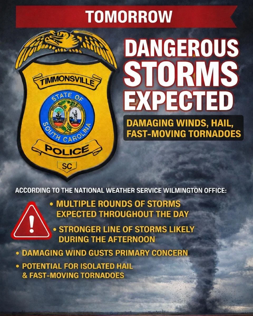
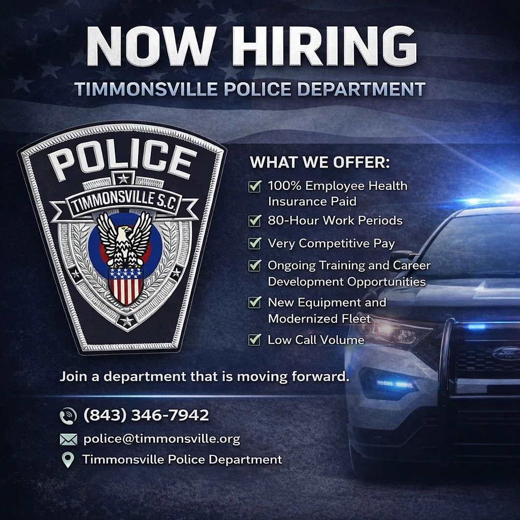
Police Department
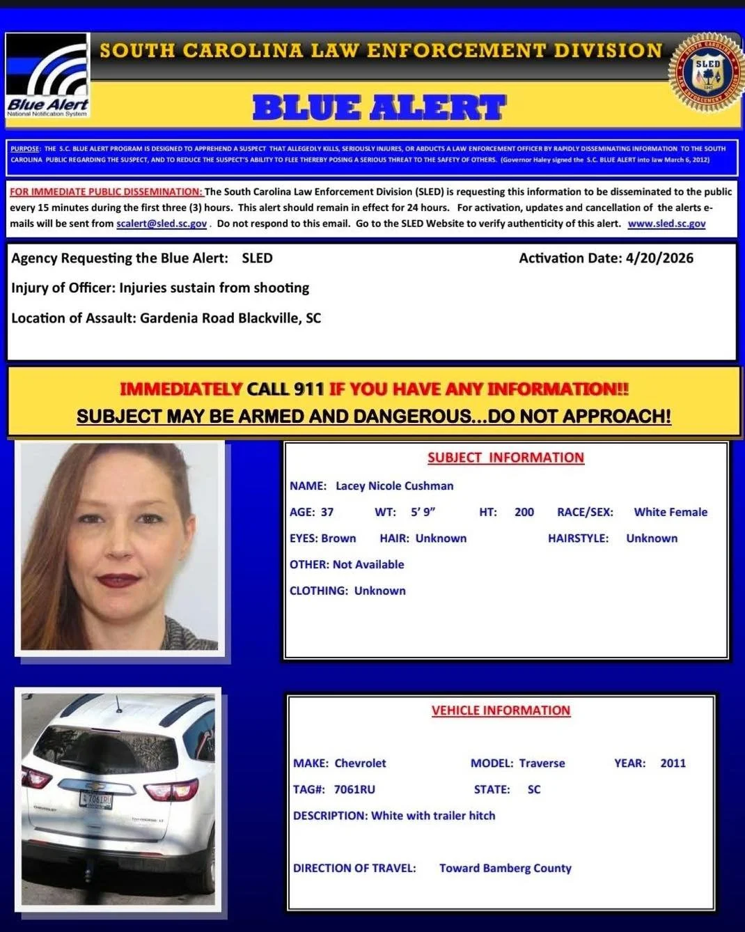
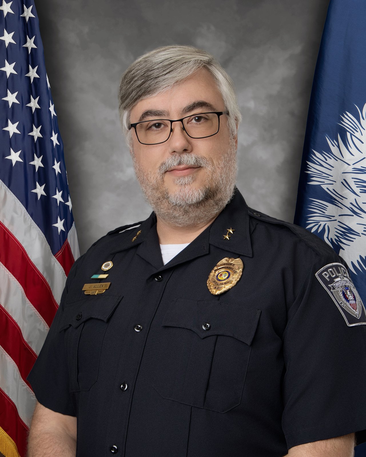
Chief James Allen
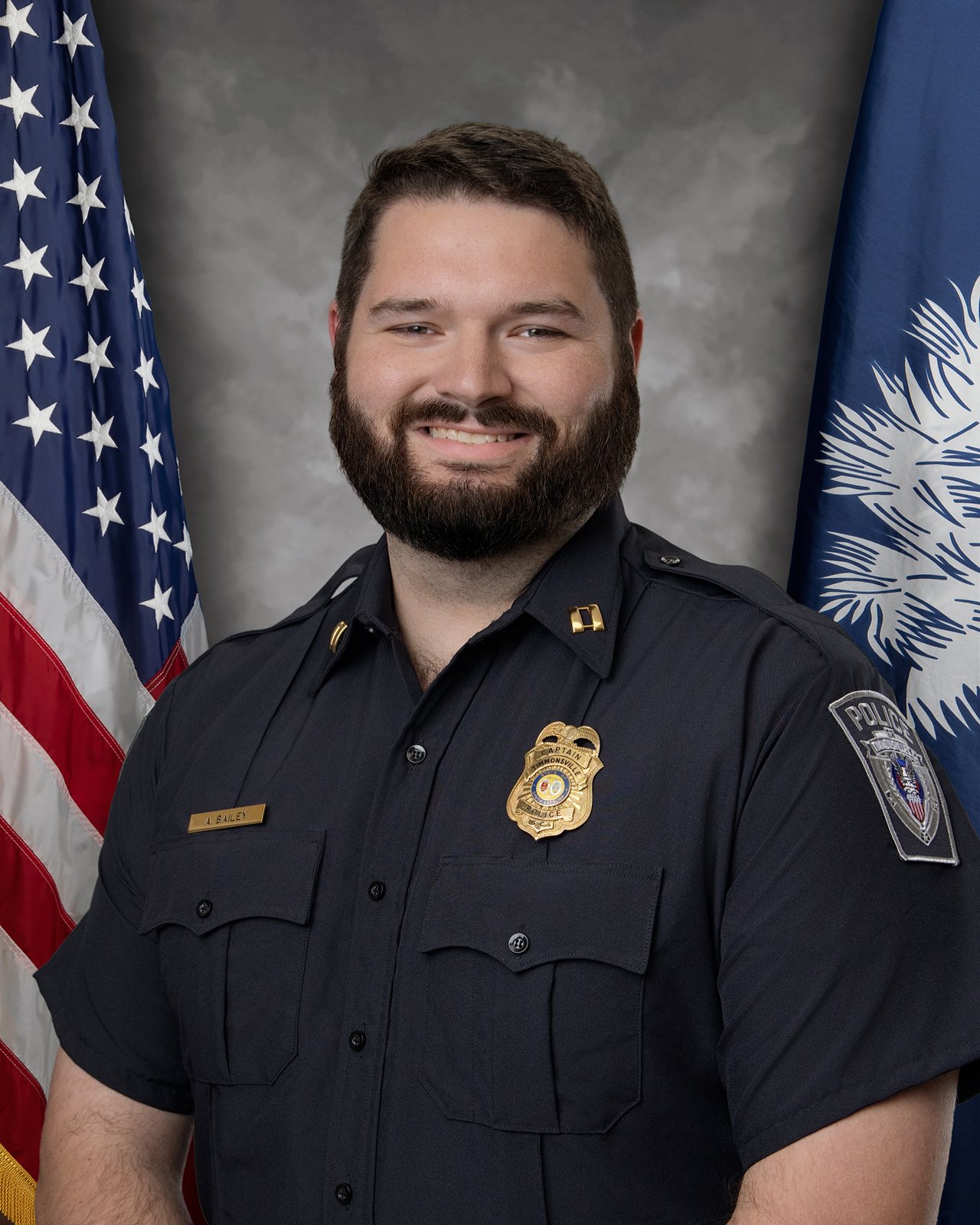
Captain Andrew Bailey
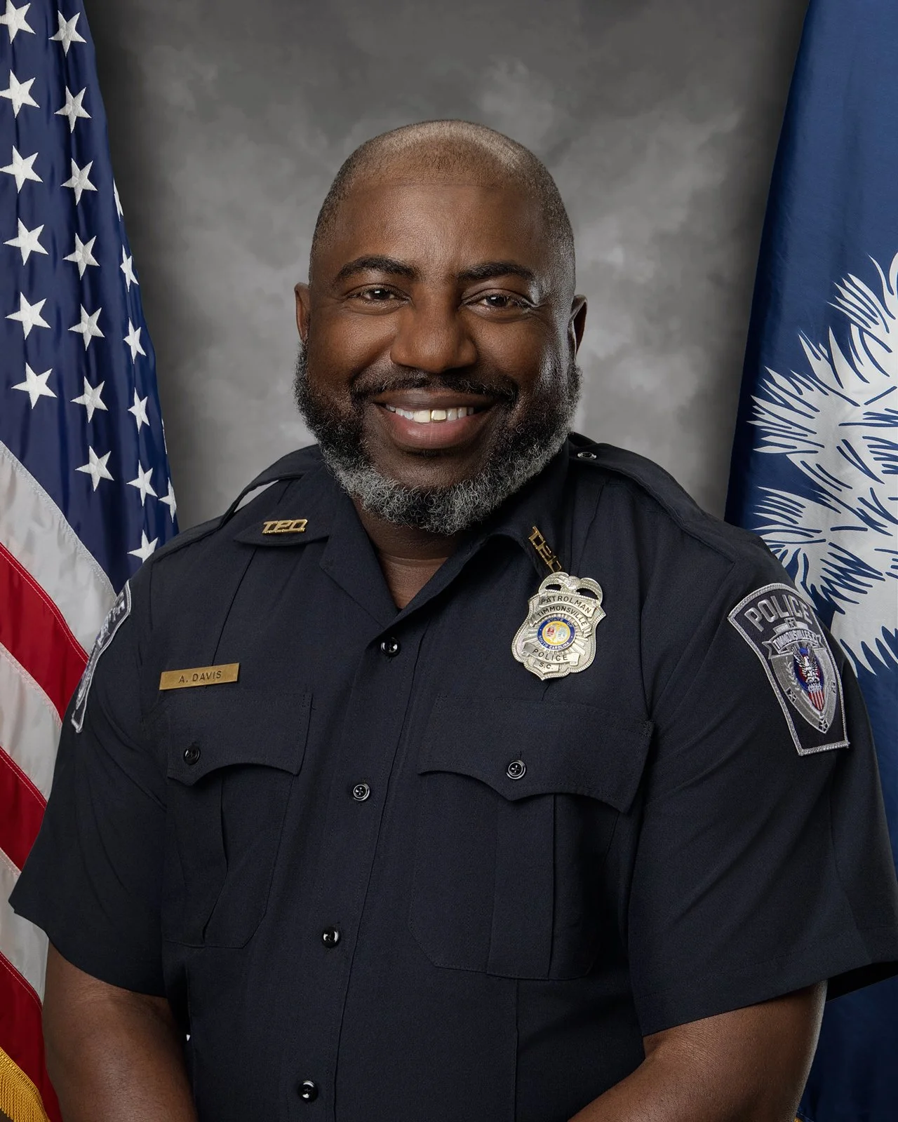
Officer A. Davis
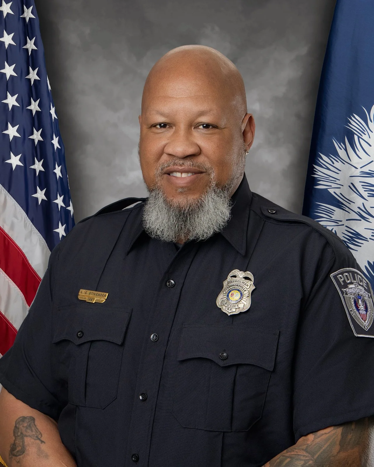
Officer L. Stivender

Officer J. Brunson